
Drone Roof Inspection in Arlington, TX
Drone Roof Inspection
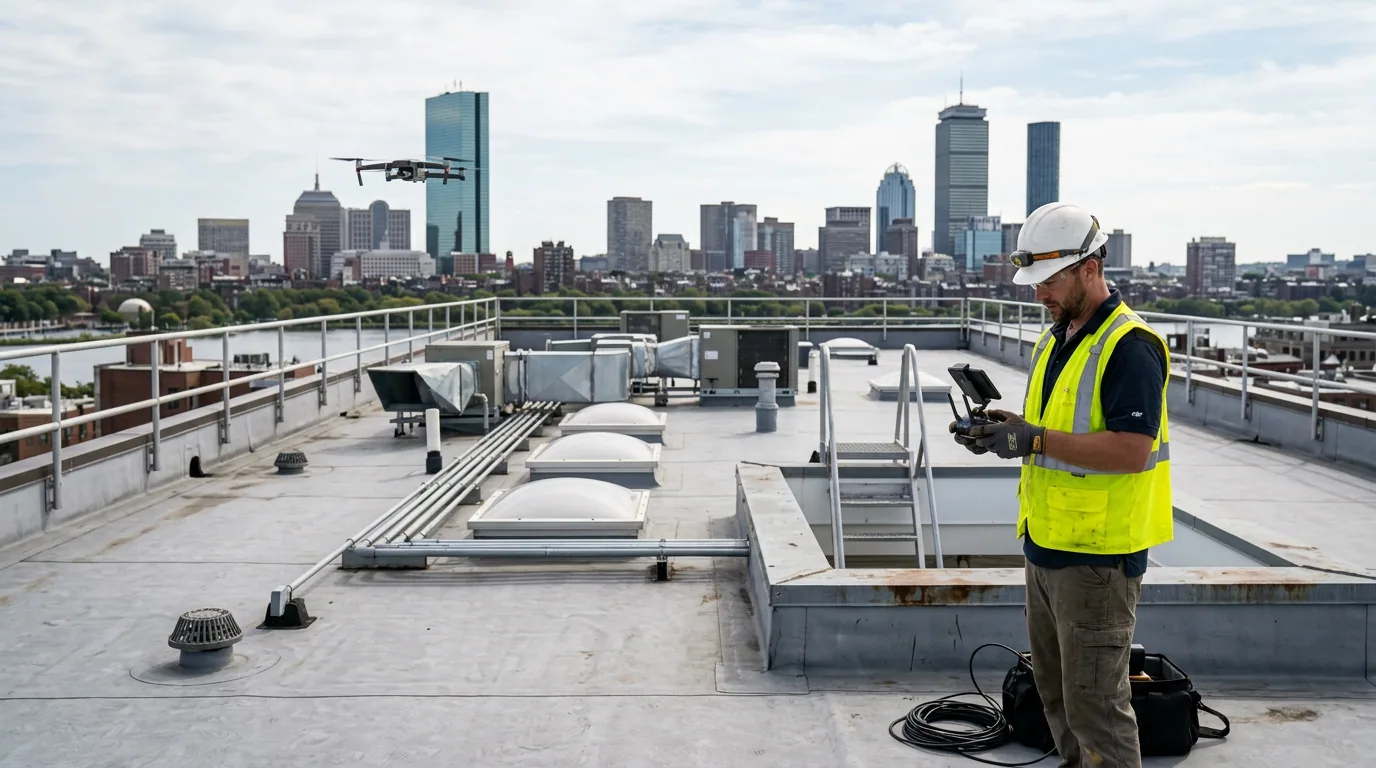
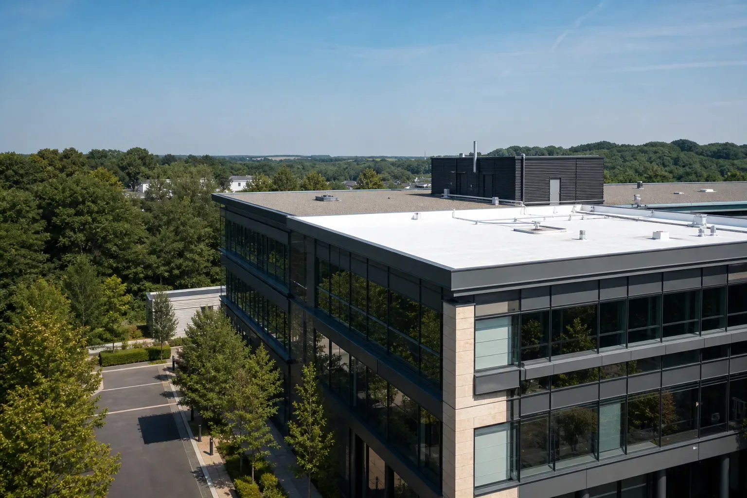
Drone roof inspection in Arlington, TX. Labeled aerial photos of your roof, clear notes on what the images show, and a plan for any spots that need a closer look.
Hail hit parts of Arlington and the surrounding Tarrant County area in late May 2024, and storms like that are a common reason owners call for aerial photos. Drone images help a facility manager see the whole roof after a storm and decide where a closer inspection is worth it. They can't see under the membrane or find every leak. Before the flight, decide what questions the photos need to answer and how roof areas will be labeled. If you manage buildings in Coppell and Pantego too, every property can use the same photo format while keeping its own findings and next steps.
Decide what the photos need to answer
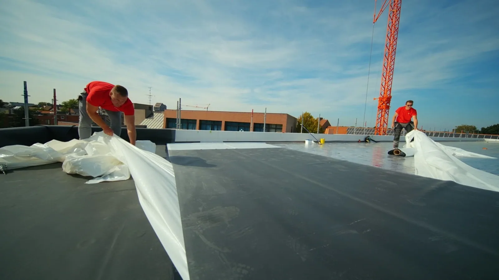
A good drone job starts with a question. You might want an overview after a storm, photos of the roof edges, or images that help a contractor find a specific problem spot. We confirm what you need and which roof areas to cover before we fly. Roof plans and older photos help us set reference points, so the image set stays useful after the first look.
A hands-on roof inspection may go along with the drone work or follow it. They do different jobs. A photo can show where something is. Someone on the roof may still need to identify the material and check how it's actually attached. Think of the drone as the map and the walk-through as the diagnosis.
Planning the flight
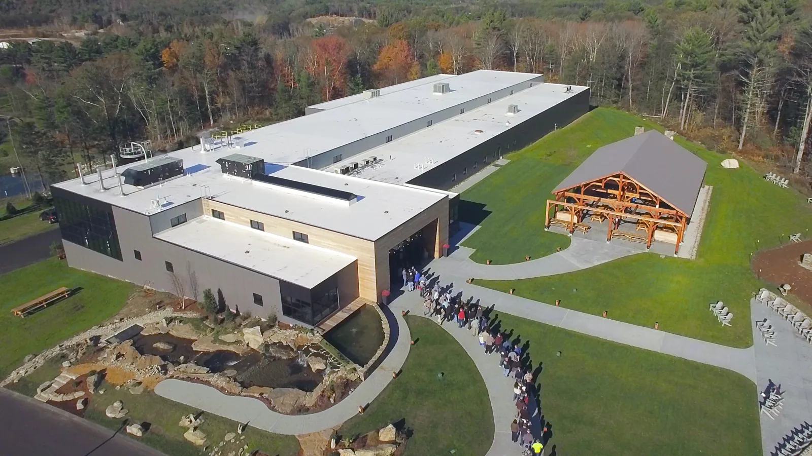
Your building contact tells us which areas to cover and any site rules for the visit. We check flight rules and any restrictions for your location before we fly, based on the actual site and not just the address. Weather, wind and nearby obstructions on the day can limit what we capture, so the report notes what was covered and anything we couldn't get.
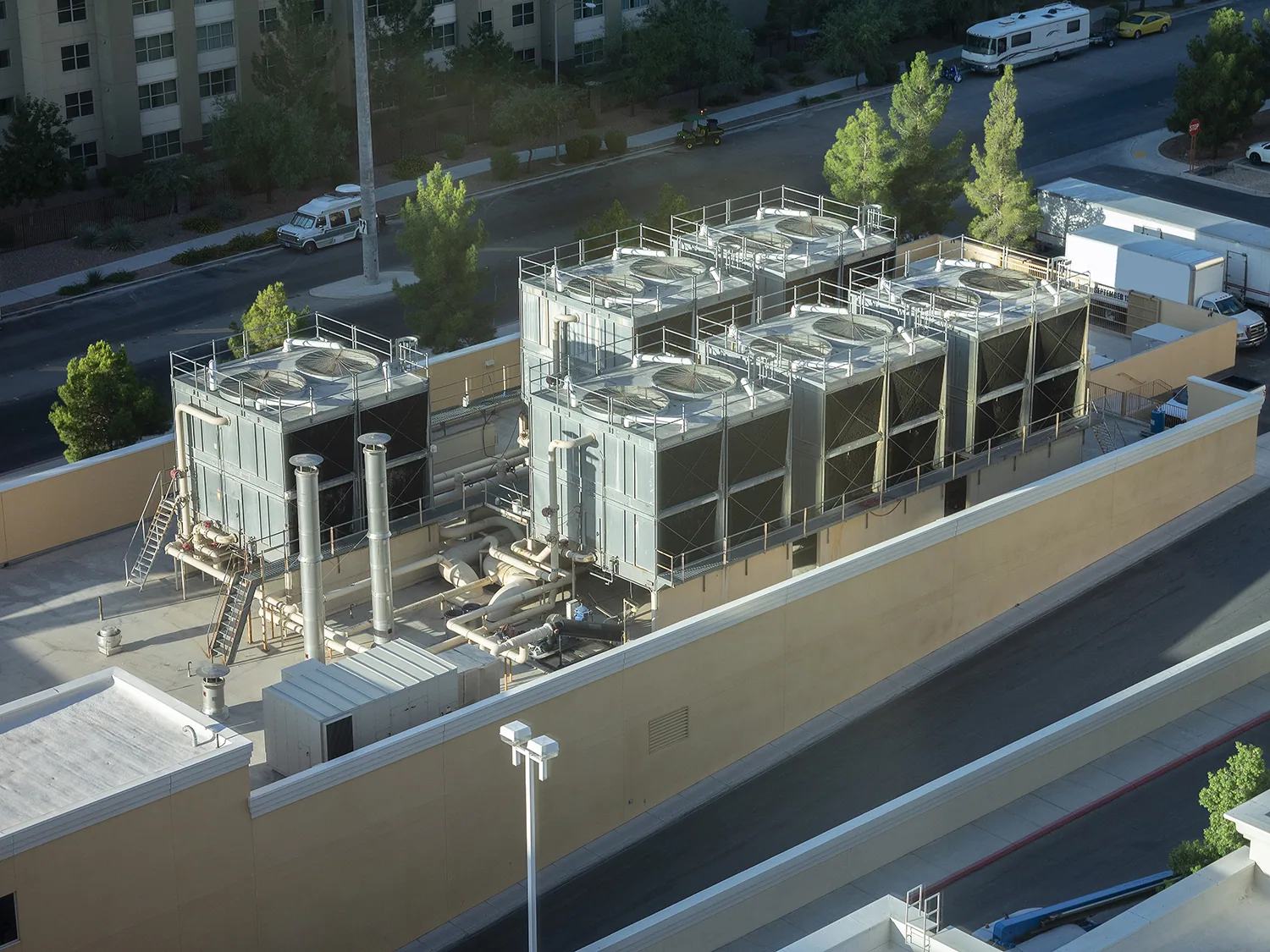
You should know up front what you're getting: which views, how roof areas are labeled, and what review comes after the photos. We agree on that for your building, including features that might need a second angle. If something is partly blocked, like a drain behind a rooftop unit, it may need another shot or a person on the roof. We note that so the next roofing decision is based on what we actually saw.
Overview shots and close-ups
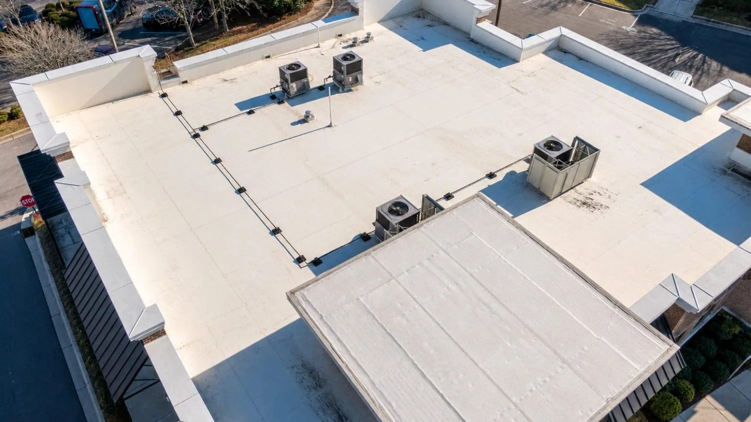
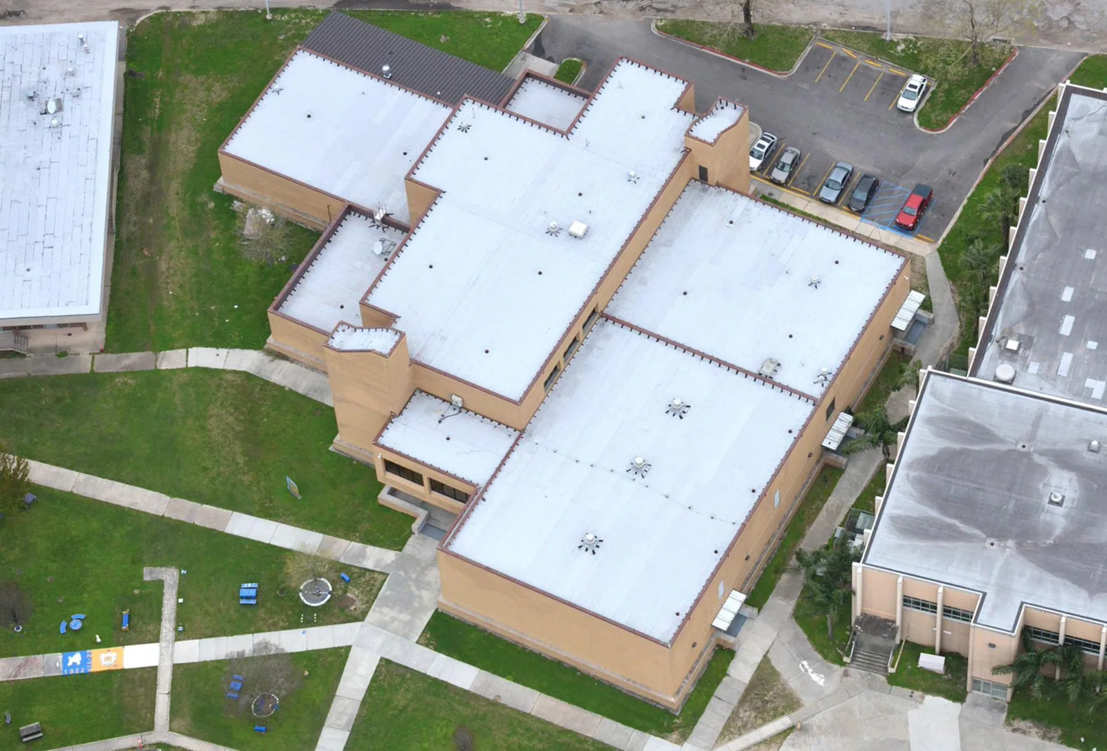
Overview shots show the roof sections and how they relate to each other. Close-ups show edges, wall flashing, equipment curbs and other details you can see from above. We label every observation with a roof area so another crew can find it. If an image isn't clear enough to say what a mark is, the report says that instead of calling a blurry spot damage.
A hail damage review takes more than a storm date and an aerial photo; someone needs to check the roof in person. A wind damage assessment should separate what a photo clearly shows, like a lifted edge, from what still needs checking. Photos can guide the next step, but a storm label doesn't explain every mark or tell you the full repair needed.
For a multi-building route, use one roof-zone naming method across the image set and keep each property's plan with its own views. Mark the direction of each overview, then pair a close image with a wider frame that shows where the detail sits. This helps the facilities team request a physical inspection at the right location instead of sending a crew to search a large roof.
What a camera can't tell you
Photos from above don't open the roof or show the insulation and deck underneath. They also can't tell you the brand or type of an old membrane just from its color. We note any product information we have and flag where a repair depends on confirming it. A visible patch edge may need a closer look before a contractor decides how to prep, seal a seam or flash a detail.
A TPO roof check after the drone work confirms the actual membrane and any older patches where a repair would go. A metal roof retrofit review looks at existing panels and framing, which is a different question. Neither should be skipped on the theory that aerial photos already cleared the roof. You need to know what's still unconfirmed before a permanent repair can be priced and scheduled.
Following up on open questions
If the worry is hidden moisture, the report explains how to check for it. An infrared moisture survey looks for temperature differences that suggest wet insulation, but it needs the right conditions, usually a clear evening after a sunny day, and the readings have to be confirmed with core cuts or meter readings. A standard drone photo job doesn't automatically include thermal imaging, and neither kind of image proves there's a hole in the membrane.
We spell out what's still unknown and what it would take to answer it. That might be a closer look at a detail, an old product record, or a test cut into the roof. We name that next step without calling every dark patch wet insulation. You can see what the photos settled and what's still open, in a report the next contractor can follow.
Drone photos are most useful when the job has a clear goal, such as spotting debris, mapping edge damage or documenting a large roof before a closer visit. Before we fly, we confirm the property's permission, access and any flight restrictions. Every image keeps its date, direction and roof-area label so spots can be found again. A wide shot shows how drains, equipment and roof sections relate, while even a close shot may not show whether the membrane is attached, whether the insulation is wet, or what's causing a leak. The report says where that line is and names the follow-up inspection for anything unresolved. You end up with an organized set of roof photos, not pictures standing in for a real inspection.
A photo record you can reuse
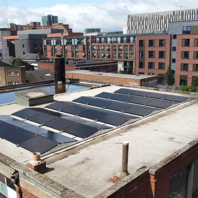
Before we fly, we agree on the roof areas, what the photos are for, any flight rules, and the report you need. Each photo is matched to its roof area, and any section we couldn't capture is noted. That keeps the image set organized and honest about its gaps.
For drone roof inspections in downtown Arlington, we organize the photos so anyone can find the same spot later. The report separates clear findings, unclear spots and things the camera can't see. If repairs come later, the repair method still needs its own material and prep review. The photo set then becomes a map for that work, with the roofing decisions based on the inspection that actually happened.
Common Questions
What should we decide before the drone flight?
Which roof areas to cover, what questions the photos should answer, and what report you need. We also check flight rules and site access for your location.
How does the report handle a spot that isn't clear in the photos?
We label where it is and say what kind of closer look it needs. An unclear spot stays a question until someone checks it on the roof.
Can drone photos tell what material an old patch is?
They can show where the patch is, but not exactly what it's made of. We confirm that with records or a hands-on check, because the repair has to match the material.
Is thermal imaging included with drone photos?
Not automatically. It's a separate service with its own timing needs, and thermal readings have to be confirmed on the roof. They show likely wet insulation, not the leak itself.
Plan your drone inspection
Send us your Arlington roof locations and what you need to know. We'll set up the photo plan and tell you what a hands-on inspection still needs to check.
- Coppell
- Pantego
- roof examination that distinguishes image observations from close inspection
- hail-related review comparing reported areas with actual roofing findings
- wind assessment examining visible displacement and its adjoining connection
- TPO review confirming product identity after the image findings
- metal retrofit examination checking existing panel and support relationships
- thermal investigation with interpretation and confirmation stated in the report